Fantastic Data and Where to Find Them: Learn to use GIS Services
relatore: Dr. Roberto Maria Rossi - Dipartimento di Geoscienze | mercoledì 10 settembre 2025 | ore 14,00 - 17,00 - Aula 2G
10.09.2025
When we work with maps and spatial data, we often search for dataset of interest, download them on our Personal computers and open them using desktop GIS software.
However many datasets are already available as Web Services. These GIS layers or rasters don’t need to be downloaded tile by tile, but in many cases we can simply provide our software with a URL to connect to the GIS service. The data will be displayed on our map and automatically update as se zoom or pan in our area of interest, or if we move to a contiguous area. It’s a simpler and more efficient way of working, and the data remain up to date.
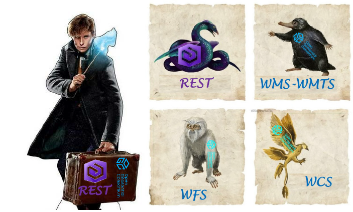
In this seminar we will explore how to use raster data (e.g. ortophotos, DTMs), and vector data (e.g. thematic polygons), in both OGC protocols (WMS, WMTS, WFS, WCS) and REST services. We'll also see how REST services can be used in geoprocessing workflows or to download selected datasets for offline use.
We will work with data provided by ISPRA (Istituto Superiore per la Protezione e la Ricerca Ambientale), INGV, IGM. A comprehensive list of different data sources will be shared.
We will mainly use ArcGIS Pro and ArcGIS Online, but also some examples on QGIS will also be given.
Participants are encouraged to attend the workshop with their own personal computer.
Those who need to activate their ArcGIS license can follow the instructions at: https://asit.unipd.it/arcgis-esri
Pre-registration via Google Form is appreciated: https://bit.ly/GISEPTEMBER