PLANMAP - PLANetary MAPping
Overall budget: € 1 499 620 | EU Contribution: € 1 499 620
Coordinated by UNIPD | Coordinator: Prof. Matteo Massironi
Start Date 01/03/2018 - End Date 28/02/2021
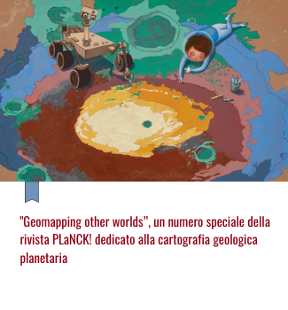
We are living in a golden age for space exploration and the worldwide interest in planetary surface exploration, with particular regard to future robotic and human missions, is rapidly increasing. Many nations can maintain robust space programs that continuously deliver a great amount of highly complex datasets. These data can be used for the production of Geological maps which provide the context for all observations and interpretations of surface and subsurface processes on any planetary body and its histories.
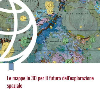
Up to date geological maps of planetary bodies are released on a regular basis only by the United States Geological Survey which follows a standardized production of map quadrangles. However, the great amount of highly differentiated datasets from planetary missions calls for innovative non-standard products and established networks of institutions and scientists all over the world devoted to geological mapping and 3d geo-models. It is high time to maximize the scientific output of planetary missions and improve the position of Europe in this context
Leggi gli approfondimenti
 |  |  |



 PLANMAP

