
Media and Events
National Geographic, October 2025: Prof. Luca Valentini on Sustainable Lunar Habitats
17.10.2025
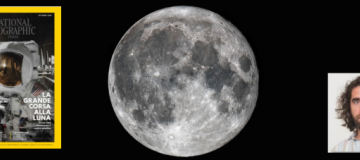
The October 2025 issue of National Geographic is titled "The Great Race to the Moon". This edition focuses on new space missions and the preparations to return humans to the Moon and build permanent settlements. Inside the magazine, there's also an interview with Luca Valentini, professor at the