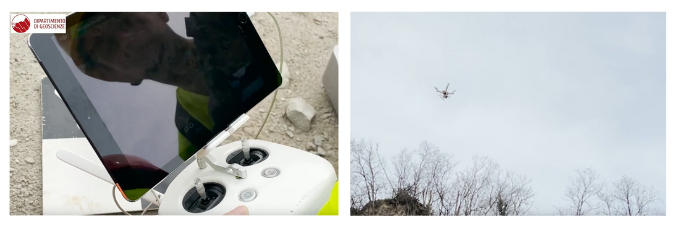
Digital geological mapping: photogrammetry using a drone
Dal 22.03.2022 al 22.09.2022
Digital Geological Mapping is a course of the Master's Degree in Environmental Geology and Earth Dynamics of the Department of Geosciences of the University of Padua. This course teaches how to use digital tools for the collection of data on the ground. In this way, it's possible to acquire quantitative and not only qualitative data. During the field trips, the students can acquire many skills, for example how to turn drone images into 3D maps.