
Monitoring Coastal Wetlands Using Remote Sensing Data: the NASA Delta-X project
Speaker: Prof. Sergio Fagherazzi, Earth & Environment Department, Boston University - Wednesday, 15th June – 3:30 PM | Aula Arduino
14.06.2022
River deltas build land where a river reaches a shallow coast and deposits large amounts of materials. The water carries a lot of sediment (silt, gravel, clay, etc) down the river, building up land where it meets the ocean, creating a river delta. More than half a billion people live along the coast, including river deltas. These coastal marine environments contain many resources that people and animals rely on: Provide food supply with nurseries for fish, crustaceans, and mammals; have rich soil, where plants flourish and take carbon dioxide (CO2) from the air; sustain a healthy, biodiverse ecosystem; provide safety, blunting the force of winds to protect communities and infrastructure.
Deltas are sinking. All large deltas are in peril or on the verge. They cannot grow fast enough to offset sea-level rise and subsidence (sinking) of land. Deltas are the babies of the geological timescale. They are very young and fragile, in a delicate balance of sinking and growing.
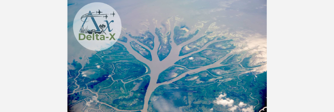
What can we do about it? To combat the sinking, deltas need to build land by capturing soil that came from somewhere else (typically up-river) and by building the soil locally through vegetation growth. The Delta-X mission studies the Mississippi River Delta, the most famous river delta in the United States and the 7th largest river delta on Earth. o understand how the Mississippi River Delta is growing and sinking, the Delta-X mission uses airborne (remote sensing) and field (in situ) measurements to look at the water, vegetation, and sediment (soil).