
RIVER-WATCHING: dynamic morphological indices to understand river functioning

Title: RIVER-WATCHING: dynamic morphological indices to understand river functioning
Principal Investigator: Simone Bizzi | Co-PI Walter Bernoldi (University of Trento) | Programme: PRIN 2022 - DM 104/22
Total Contribution € 138.371,20 | Project Duration: 24 months
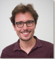
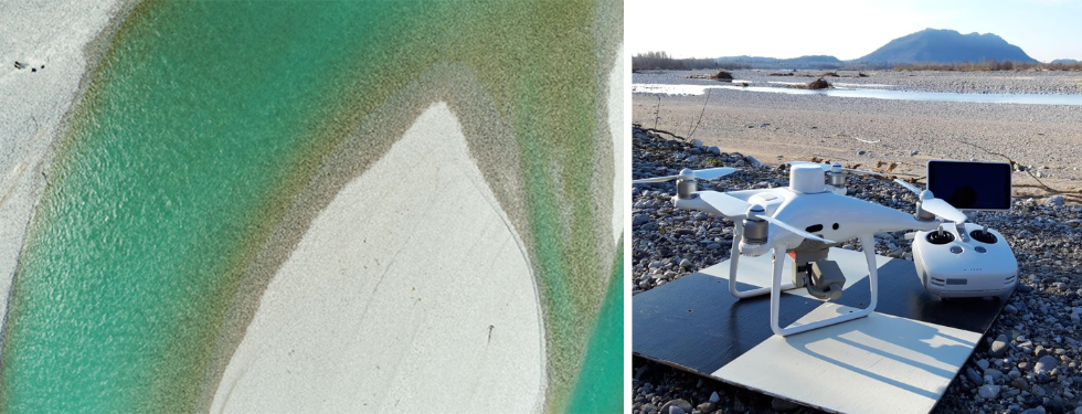
This project aims to improve our ability to predict river evolutionary trajectories by developing novelgeomorphic indicators that integrate spatially and temporally rich global datasets. Taking advantage of the opportunities offered by satellite imagery nowadays available globally at weekly frequency, we will provide new insights on river forms and processes, based on the dynamic changes occurring at the geomorphic unit scale. These indicators aim to be the foundation of new approaches to quantitatively characterize river types and their dynamics. They will be calculated on a global selection of alluvial rivers and by flume experiments and will represent a range of river morphology (e.g., braided, wandering, and single-thread). Flume experiments will provide the controlled environment to corroborate the findings with more robust information (as well as measures of sediment transport).
This project will explore the possibility to move from a static vision of river geomorphic indicators to a dynamic one, exploiting the frequent acquisitions of satellite imagery. It means not only monitoring river attributes across time – e.g., how the active channel width changes over time – but to propose novel indicators able to aggregate spatial and temporal information of river geomorphic unit dynamics into meaningful values, providing information on size, position and persistence of different geomorphic units. Moreover, the proposed approach could be adopted with limited efforts everywhere, thanks to the global cover of satellite imagery. The indexes we envisage will grasp fluvial systems intrinsic dynamicity, synthesizing the underlying processes instead of river forms. This project has the potentialities to support valuable advances in terms of research findings and their relevance to support river management. From a research perspective, this project will propose novel river geomorphological indicators supporting the transition from a qualitative and descriptive geomorphology towards a more quantitative and analytic one. The result could be a much-improved knowledge for river management, where flow and sediment regulation will be directly and quantitatively linked to river dynamics, and hence ecosystem services.
 |