A new approach to map landslides with artificial intelligence under thick cloud cover

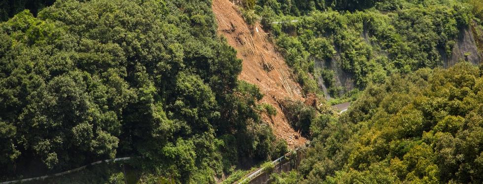
Landslides pose risk to communities as well as infrastructures and they are resposible for huge economical losses every year. Just to mention a few figures, Italy is, together with Japan and the United States, one of the countries with the highest percentage of landslides compared to the area.
Making a precise mapping of landslides is very important because landslide inventories allow for modeling that can predict and mitigate future events.
In recent years, research has worked hard to develope reliable automatid approaches for rapid mapping of landslides using optical Earth observation data, but this method cannot be applied in the presence of cloud cover. This aspect is relevant because in some regions of the world cloud cover is present for 80% of the year.
The Department of Geosciences of the University of Padua collaborated to a study, recently published in Remote Sensing, that explored the potential of a new approach based on SAR data and Artificial Intelligence algorithms.
The research focused on the eastern part of the Iburi sub-prefecture of Hokkaido (Japan), where on 6 September 2018 about 8000 co-seismic landslides were triggered by an earthquake.
The results showed that the combination of SAR data with AI algorithms allows to map landslides quickly, even under thick cloud cover.
“We employed Synthetic Aperture Radar Amplitude imagery which is able to penetrate the cloud cover: in this way we can get information about the landslides spatial position also under cloud cover, as in the case that we investigate in this research”, explained Lorenzo Nava, PhD student at the Machine Intelligence and Slope Stability Laboratory at the Department of Geosciences University of Padua and first author of the article.
“There are different reasons for which we employ the state-of-the-art artificial intelligence model: the first one is that those models are able to map automatically wide areas in a short time span, while the second one is that those data are very difficult to interpret by us because they don't look like a normal optical image like the one we acquired from our smartphone. So those models allowed us to map landslides on very difficult data to be interpreted by a human mind”, Lorenzo Nava added.
Further investigations and improvements are still needed but this approach can be a turning point when it is necessary to intervene very quickly immediately after a multiple landslide event.
“This study shows the possibility of operating a very rapid mapping, one week right after the occurrence of those landslides, also in presence of cloud cover. Thus, the approach may have very relevant benefits when it comes to emergency and the civil protections operations related to these extreme events”, Lorenzo Nava ended.


